The day started cold and grey but dry, we had an early breakfast, collected our bikes from Austin’s garage and set off at 8:45. It’s a lovely route out of Cardiff along the River Taff and past the Glamorgan cricket ground. It was slow going though because of the numerous access controls which were difficult to negotiate with our low-slung front panniers. The route up the valley to Merthyr Tydfil was varied with rural high-level sections along the course of old railways and tramways, suburban sections through modern housing estates, a winding riverside path and less pleasant crossings of major roads via footbridges and underpasses. At the edge of Cardiff we climbed up to Castell Coch, an imposing castle with a view right across the city. We travelled along the route of the world’s first railway, dating from 1804, where you can still see where the cast iron rails were bolted to the stones. The South Wales valleys have suffered from high unemployment with the closure of the coal mines but the people are very friendly despite their hardships and it was good to see the cycle route used so actively as a local amenity in such a depressed area.
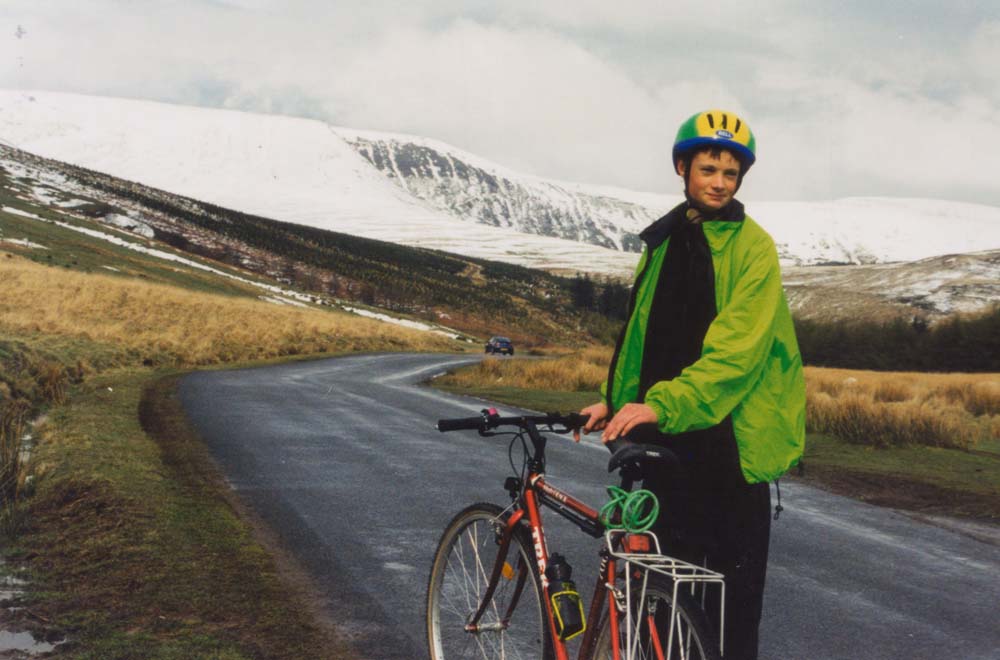
The route through Merthyr was unpleasant until we turned off the A470 onto the old railway trackbed and on towards Pontsticill reservoir. For the rest of the day we encountered very little traffic, the route being entirely along abandoned railways and country roads. Some of the road sections were very steep but from the summit, where it was snowing, it was an easy coast downhill to Talybont along the trackbed of the former Brecon and Merthyr Railway. Soon afterwards it started raining heavily so we were pleased to reach our destination, Llanfihangel Talyllyn, where we were to stay two nights with friends, arriving at 5:30.